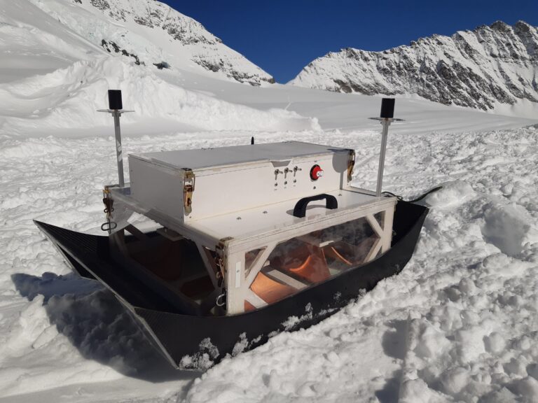
Ground penetrating radar (GPR) is an effective tool in cryosphere and climate research, as it can provide detailed, non-invasive insights into ice thickness, internal structures, and subglacial conditions. This technology uncovers critical data on glacier dynamics and climate change impacts, enhancing our understanding of past, present, and future environmental shifts. In this contribution, the design and experimental verification of a lightweight, surface-based GPR platform intended for imaging glacial subsurface structures is presented. Therein, the system requirements for glaciological applications and the design implications for the developed platform and its components are described. In addition, a detailed overview of the utilized radar system, including the 3D-printed horn antennas and the localization concept, is provided. Furthermore, the imaging properties of the developed system are introduced, and the processing chain to retrieve subsurface images from the raw radar data using synthetic aperture radar concepts is presented. The platform was tested during a field campaign in March 2024 on the Jungfraufirn glacier in Switzerland. The data from this field campaign provide detailed imaging results of the glacier subsurface, including its stratification with high resolution and contrast. Moreover, a comparison of our rather broadband ultra-high frequency GPR measurements to the data acquired with a high-performance state-of-the-art low frequency GPR system is provided. Finally, this contribution concludes with current limitations and an outlook on future improvements.
https://ieeexplore.ieee.org/document/10669622