Month: October 2024

Event

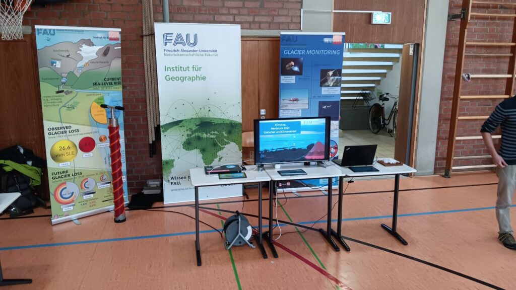
Annual workshop of the doctoral program in the Altmühltal

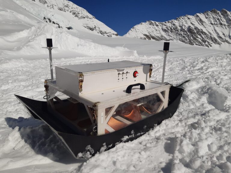
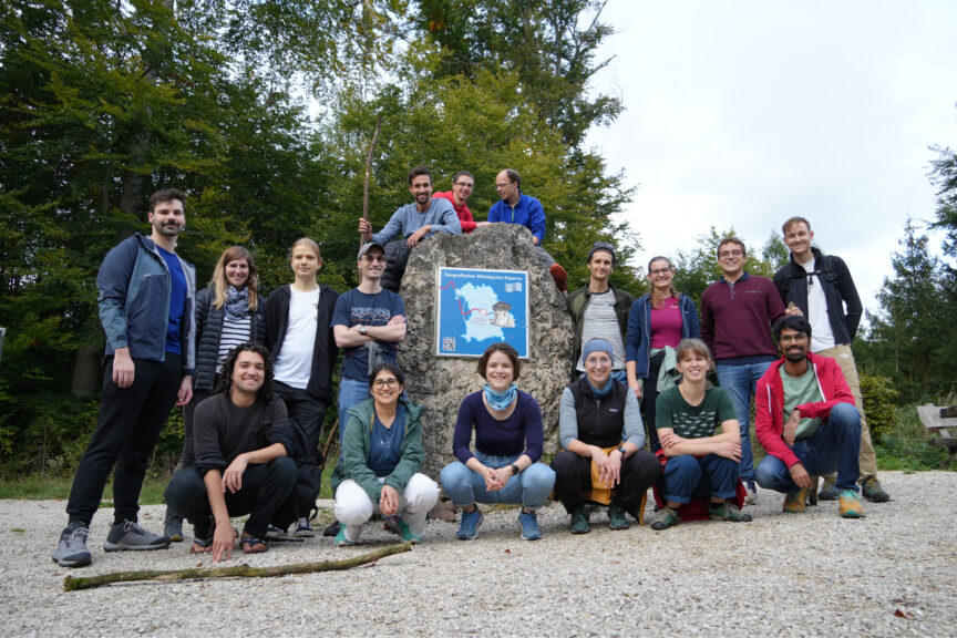
This year’s annual workshop of the International Doctoral Program M3OCCA took place at ‘Krone Kinding’ located in the Altmühltal. The doctoral researchers presented the current status of their research projects and gave an outlook on upcoming activities. The M3OCCA-affiliated project ‘Deep-Learning-Informed Glacio-Hydrological Threat’ (DELIGHT), led by Dr. Samual Cook, was officially introduced and the new colleagues presented to all participants. An important point for discussion within the group of doctoral researchers and PIs was the prolongation proposal for the programme. One of the highlights was the guest lecture from Chad Greene (JPL/Caltech, USA) on ‘Remote Sensing of Glaciers and Ice Sheets’. Socializing activities included a hike through the Altmühltal including a stop at the geographical center of Bavaria and a quiz night on the second evening.


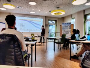
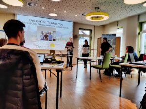
Photo copyright: Oskar Herrmann & Akash Patil

Outreach

Geography at “Klimatag” at Paul-Pfinzing-Gymnasium Hersbruck

At the “Klimatag” (Climate Day) at Paul-Pfinzing-Gymnasium Hersbruck, Thorsten Seehaus (M3OCCA PI) and Philipp Malz from the Institute of Geography at FAU presented the latest findings from glacier research and informed the pupils about the effects of climate change on glaciers. An interactive glacier quiz rounded off the event and ensured fun and lively interest among the pupils. With this participation, the Institute of Geography is committed to raising awareness of climate change and getting young people interested in climate protection and geography.

Publications

Design and Verification of a Versatile and Lightweight Radar Platform for High-Resolution Imaging of Glacial Subsurface Structures

Ground penetrating radar (GPR) is an effective tool in cryosphere and climate research, as it can provide detailed, non-invasive insights into ice thickness, internal structures, and subglacial conditions. This technology uncovers critical data on glacier dynamics and climate change impacts, enhancing our understanding of past, present, and future environmental shifts. In this contribution, the design and experimental verification of a lightweight, surface-based GPR platform intended for imaging glacial subsurface structures is presented. Therein, the system requirements for glaciological applications and the design implications for the developed platform and its components are described. In addition, a detailed overview of the utilized radar system, including the 3D-printed horn antennas and the localization concept, is provided. Furthermore, the imaging properties of the developed system are introduced, and the processing chain to retrieve subsurface images from the raw radar data using synthetic aperture radar concepts is presented. The platform was tested during a field campaign in March 2024 on the Jungfraufirn glacier in Switzerland. The data from this field campaign provide detailed imaging results of the glacier subsurface, including its stratification with high resolution and contrast. Moreover, a comparison of our rather broadband ultra-high frequency GPR measurements to the data acquired with a high-performance state-of-the-art low frequency GPR system is provided. Finally, this contribution concludes with current limitations and an outlook on future improvements.

https://ieeexplore.ieee.org/document/10669622